
Mississippi Coastal Improvements Program (MsCIP) - Data Viewer
In 2009, in response to the Department of Defense Appropriation Act of 2006 (P.L. 109-148) the Mississippi Coastal Improvements Program (MsCIP) was developed by the U.S. Army Corps of Engineers (USACE), Mobile District, in conjunction with other Federal and State agencies, to help reduce future storm damage along the Mississippi Gulf coast.
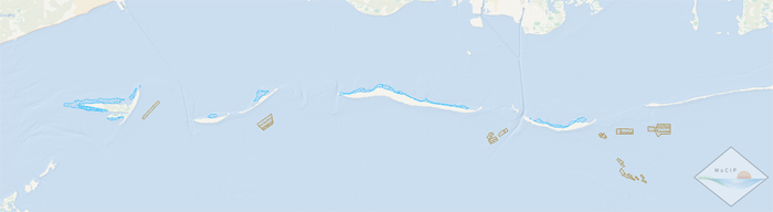
In 2014, in cooperation with the USACE Mobile District, development began on the MsCIP Data Viewer, an interactive web mapping environment. The data viewer focuses on the multi-year Mississippi barrier island restoration effort of MsCIP consisting of various phases of barrier island construction projects. This application was developed to aid data management efforts supporting MsCIP including an extensive monitoring and adaptive management program that spans the time period before, during, and after construction of the islands. The long-term monitoring plan includes an extensive list of varying data types collected to assist in measuring project goals and objectives. Data types to be collected, managed, and visualized include physical survey data (bathymetric, topographic), hydrological data (wave, current, circulation, water quality), biological data (gulf sturgeon, shorebirds, sea turtles, benthic, habitat, submerged aquatic vegetation), and cultural data. The application gives researchers, resource managers, and the general public access to observational data and visualization products through an intuitive, spatially-aware mapping environment.
MsCIP Partners:
- U.S. Army Corps of Engineers (USACE)
- U.S. Environmental Protection Agency (USEPA)
- U.S. Department of the Interior - National Park Service (NPS), U.S. Fish and Wildlife Service (USFWS), Bureau of Ocean Energy Management (BOEM), and U.S. Geological Survey (USGS)
- U.S. Department of Commerce (USDOC) - National Oceanic and Atmospheric Administration (NOAA) and National Marine Fisheries Service (NOAA Fisheries)
- State of Mississippi
- Alabama Department of Conservation and Natural Resources
More information can be found here here.
Please direct any questions to:
Christina Hunnicutt
hunnicuttc@usgs.gov
(337) 266-8844
![]()
