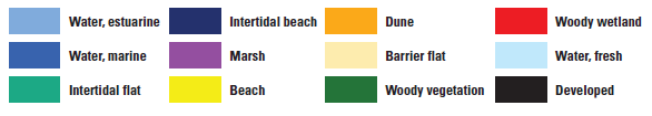
Habitat Modeling
USGS Open-File Report 2020-1003
USGS Data Release
ST2 - Medium Storminess
SL1 - Lower Sea level
INT - intermediate SLR curve (0.7 m by 2100)
Y0 - Baseline year 0
Y10 - Year 10
R0 Existing Conditions/No Action Measure
R2 Pelican Island Southeast Nourishment
R3 Sand Island Platform Nourishment and Sand Bypassing (Interim Project ID 8)
R4 East End Beach and Dune Restoration;
West End Beach and Dune Nourshment no Buyout (Interim Project ID 2)
R5 Back Barrier Tidal Flats and Marsh Habitat Restoration
R6 West End Beach and Dune Nourishment with Buyout
R7 West End and Katrina Cut Beach and Dune Nourishment with Buyout